
Area 5.88 km² Number of airports 1 | Region Normandy Population (2008) 2,248 Local time Saturday 9:25 PM | |
 | ||
Weather 7°C, Wind SW at 23 km/h, 81% Humidity | ||
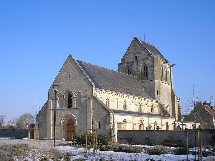
Carpiquet is a commune in the Calvados department in the Normandy region in northwestern France. Caen – Carpiquet Airport is located in Carpiquet.
Contents
Map of Carpiquet, France
Geography
Carpiquet is on the western side of the Caen metropolitan area. The town is divided into four distinct areas:
History
The Carpiquet Airport was one of the objectives of the 3rd Canadian Infantry Division during the Normandy Campaign. The village was fought over between June and July 1944 in several battles, notably during the Battle for Caen. It and the airport were finally taken in early July during Operation Windsor.
Attractions
Economy
Chalair Aviation, an airline, has its head office on the grounds of Caen – Carpiquet Airport in Carpiquet.
Twin towns – Sister cities
Carpiquet is twinned with:
References
Carpiquet Wikipedia(Text) CC BY-SA