
Population 269 (2006 census) Mean max temp Mean min temp Local time Sunday 6:28 AM | Postcode(s) 5291 Postal code 5291 | |
 | ||
Location 452 km (281 mi) SE of Adelaide35 km (22 mi) SW of Mount Gambier37 km (23 mi) W of Port Macdonnell, South Australia Weather 18°C, Wind SE at 24 km/h, 85% Humidity | ||
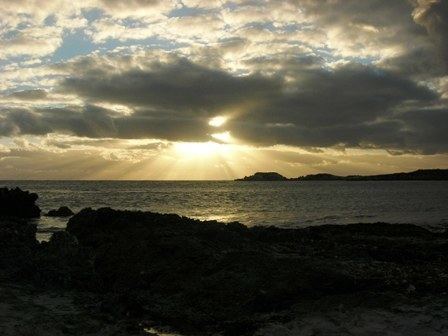
Carpenter Rocks is a small coastal town located 35 km south-west of Mount Gambier in the south-east of South Australia. The area faces the Southern Ocean and is renowned for its rugged coastline which provides exceptional fishing and diving locations.
Contents
Map of Carpenter Rocks SA 5291, Australia
In the 2006 census, the town and surrounding localities such as Pelican Point had a population of 269. Carpenter Rocks is in the District Council of Grant local government area, the South Australian House of Assembly electoral district of Mount Gambier and the Australian House of Representatives Division of Barker.
History and settlement
The earliest people in the Carpenter Rocks area were the aboriginal communities from the Booandik tribe. They were scattered in small groups along the coast where they had access to an abundance of food and water. Due to disease and land dispossession the last full blooded Booandik died in 1904.
Lieutenant James Grant, when on board the HMS Lady Nelson, was the first known British person to view land known today as south eastern South Australia. On 3 December 1800, he sighted what at first he thought was four unconnected islands, but on a closer look realized they were two mountains and two capes. One of these he named Cape Banks, just west of today's township, after English Botanist - Joseph Banks. On 4 April 1802, the French explorer Nicholas Baudin aboard the ship Geographe noticed the area and made the observation:
The name, according to Geoffrey Manning and Rodney Cockburn "Place Names of South Australia", "The Rocks", were named "Les Carpentiers" after a Dutch navigator, by Nicholas Baudin, meaning "The Carpenters", alluding to their indented and serrated nature, which reminded Baudin of a carpenters saw.
Areas of interest
The town is a gateway to the Canunda National Park and Lake Bonney SE. Carpenter Rocks supports a significant southern rock lobster industry and Bucks Bay provides a safe haven for the many fishing boats moored there. Cape Banks lighthouse is located 4 km from the township and it is near here on 5 August 1859 the SS Admella was wrecked on a reef with the loss of 89 lives.