Established 1996 Founded 1996 | Postcode(s) 5291 Carpenter Rocks Carpenter Rocks Postal code 5291 | |
 | ||
Location 39 km (24 mi) SE of Mount Gambier LGA(s) | ||
Pelican Point is a coastal town in South Australia that surrounds a headland on the continental coastline. It consists mostly of holiday shacks. The north side of the point faces Bungaloo Bay. The point was previously known as Pointe des Cordonniers. The current boundaries were created in 1996 including both the Bungaloo Bay and Pelican Point shack areas.
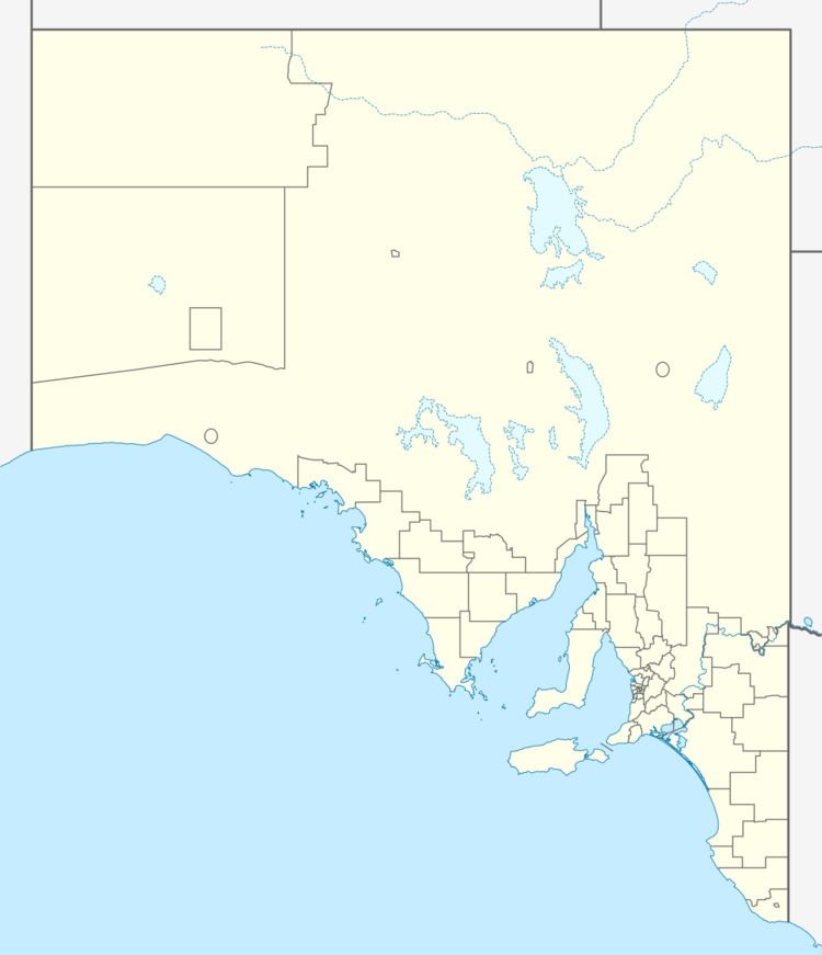
Map of Pelican Point SA 5291, Australia
Pelican Point is located within the federal Division of Barker, the state electoral district of Mount Gambier and the local government area of the District Council of Grant.
References
Pelican Point, South Australia Wikipedia(Text) CC BY-SA
