
- left East Carp River - elevation 180 m (591 ft) | - elevation 545 m (1,788 ft) Source Unnamed lake | |
 | ||
Mouths Batchawana Bay, Lake Superior | ||
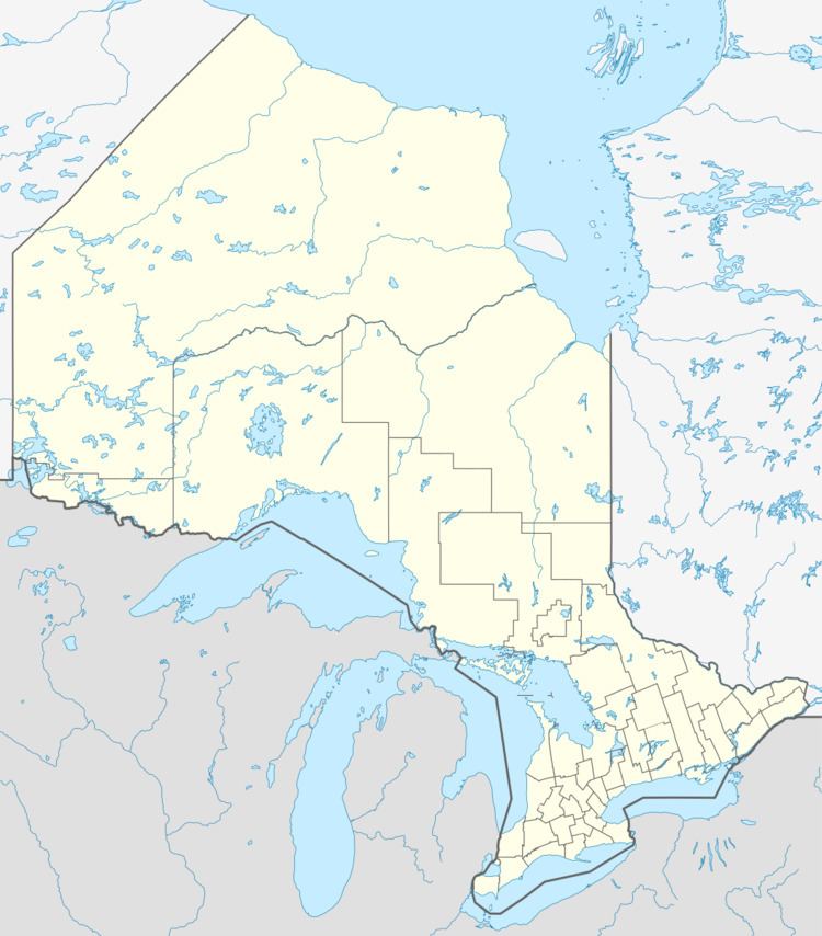
The Carp River is a river in the Unorganized North Part of Algoma District in Northeastern Ontario, Canada. The river is in the Great Lakes Basin and is a tributary of Lake Superior.
Contents
CourseEdit
The river begins at an unnamed lake in geographic Nicolet Township and heads west, then turns south, enters geographic Palmer Township, flows through the Cedar Lakes, and takes in the left tributary East Carp River. It continues south, passes into geographic Fisher Township, takes in the left tributary Carp Creek arriving from Carp Lake, passes under Ontario Highway 17, and reaches Batchawana Bay on Lake Superior.
RecreationEdit
The mouth of the Carp River is at the west end of Batchawana Bay Provincial Park.
TributariesEdit
References
Carp River (Algoma District) Wikipedia(Text) CC BY-SA