
Country United States County Owen GNIS feature ID 0432160 Zip code 47460 | State Indiana Time zone Eastern (EST) (UTC-5) Elevation 220 m Area code 812 | |
 | ||
Weather 11°C, Wind SE at 14 km/h, 31% Humidity | ||
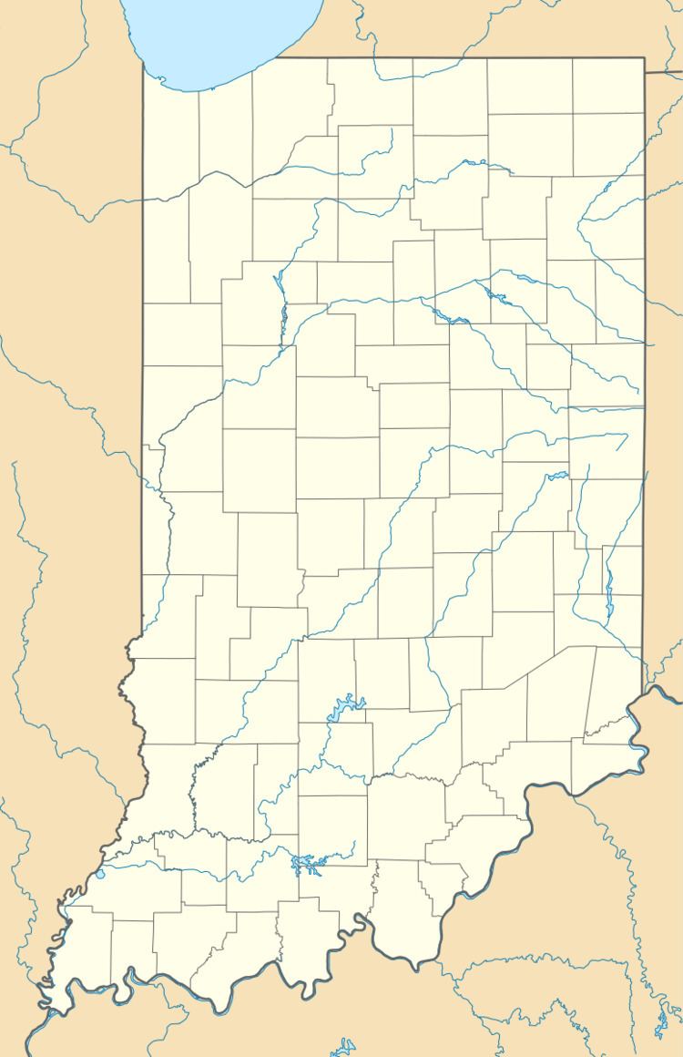
Carp is an unincorporated community in northeastern part of Montgomery Township, Owen County, Indiana, United States. It lies near the intersection of US Highway 231 and County Road 50 East (a.k.a. Rocky Hill Road), which is a community nearly eight miles north of the city of Spencer, the county seat of Owen County. Its elevation is 722 feet (220 m), and it is located at 39°23′6″N 86°45′39″W (39.3850457, -86.7608397).
Contents
History
A post office was established at Carp in 1885, and remained in operation until 1904.
Geography
Smith Cemetery is about three miles directly west of this community, and it is located on County Road 200 West at 39°23′28″N 86°48′19″W (39.3911563 -86.8052853).
Amazon Lake is about three miles south of this community, which is west of the intersection of US Highway 231 and Indiana Highway 67 at 39°21′16″N 86°44′51″W (39.3544016 -86.7474351).