
Demonym(s) Carmagnolesi | Elevation 240 m (790 ft) Local time Friday 3:16 PM | |
 | ||
Frazioni San Bernardo, Salsasio, San Giovanni, San Michele Grato, Cappuccini, Casanova, Tuninetti, Vallongo, Motta e Corno Weather 8°C, Wind N at 10 km/h, 86% Humidity Points of interest Museo Civico Navale, Museo civico di storia nat, Riserva Naturale Speciale, Bosco del Gerbasso | ||
Carmagnola is a comune (municipality) in the Metropolitan City of Turin in the Italian region Piedmont, located 29 kilometres (18 mi) south of Turin. The town is on the right side of the Po river. The nature of the soil determined, as time was passing, the accumulation of the river sands.
Contents
- Map of Carmagnola Metropolitan City of Turin Italy
- History
- Main sights
- Economy
- People
- Events
- Twin towns
- References
Map of Carmagnola, Metropolitan City of Turin, Italy
Carmagnola borders the following municipalities: Poirino, Villastellone, Carignano, Lombriasco, Ceresole Alba, Racconigi, Sommariva del Bosco, Caramagna Piemonte.
History
The municipality is mentioned for the first time during the 11th century. The land, originally owned by the Arduinic dynasty, passed to the Marquisate of Saluzzo, who had a castle built here. The Saluzzo dynasty soon underwent a rapid decadence ending with a French domination period which lasted 40 years. In 1588 Carmagnola became a possession of the House of Savoy, when Charles Emmanuel I besieged and conquered it. French took possession of Carmagnola a second time during the 17th century, during the civil war between Madamisti and Principisti (supporters of the French and the Savoy dynasty respectively). In this period (1637-1642), the three main subdivisions were razed to the ground as they were conflicting with the defence structures, and immediately re-built around 1.5 km from their original position, where they still are at the present time.
In 1690 the city was once again occupied by the French general Catinat, but just one year later Victor Amadeus II of Savoy brought it back among Piedmontese possessions. While its defence buildings were being demolished and its strategic role was progressively decreasing in importance, the town could finally develop agriculture and commerce, mainly of hemp and ropes, which were exported in great quantity to Liguria and souther France. The characteristic of both agricultural and commercial site remained important until after World War II, which caused a massive immigration and a rapid urbanistic expansion.
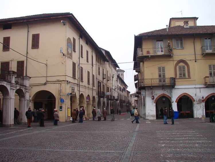
Main sights
Economy
The economy of the town is currently linked to the industry and intensive production of vegetables and cereals, which the particular soil makes very productive. Industry experienced a notable growth during the 1960s, when FIAT opened an important factory, thus attracting a growing number of immigrants from southern Italy. The rapid growth of FIAT made also possible other activities in the metallurgy, electronics, optics, chemical industry, and food industry fields. Also well-developed are the banking, financial and insurance sectors.