
FIPS code 06-11166 Elevation 1,002 m Population 0 (2010) Area code 530 | Time zone Pacific (PST) (UTC-8) GNIS feature IDs 1658222; 2407962 Area 42 ha Zip code 95915 | |
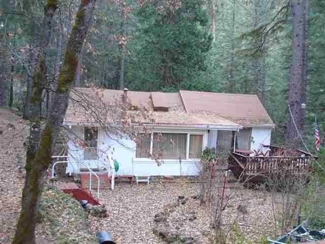 | ||
Caribou (formerly, Cariboo) is a census-designated place located in Plumas County, California, United States. As of the 2010 Census, the town had a population of 0. Caribou is located on the North Fork Feather River, 9.5 miles (15.3 km) south of Almanor. The closest communities are Belden to the southwest, Twain to the southeast, Canyondam to the north, and Greenville to the east.
Contents
Map of Caribou, CA, USA
History
The place started as a placer mining camp in 1850. The name honors an Indian miner named Johnny Caribou. The Caribou post office operated from 1922 to 1976.
Geography
Caribou is located at 40°4'48" North, 121°9'27" West (40.079929, -121.157397).
According to the United States Census Bureau, the town has a total area of 0.2 square miles (0.52 km2), of which, 0.2 square miles (0.52 km2) of it is land and none of it is covered by water.
Demographics
As of the 2010 Census, there are no people living in the town. According to the US Census data, there are only two buildings in the community, both of them listed as "Vacant housing units" and "For seasonal, recreational, or occasional use".