Local time Wednesday 10:43 PM | ||
 | ||
Weather 4°C, Wind SW at 21 km/h, 81% Humidity | ||
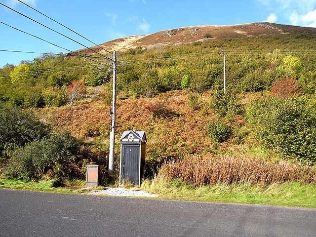
Cappercleuch is a settlement on the A708, at St. Mary's Loch in the Scottish Borders area of Scotland, in the former Selkirkshire.
Map of Cappercleuch, Selkirk, UK
Places nearby include Bowerhope Law, Craigierig, Deer Law, the Dryhope Tower, Ettrickbridge, the Ettrick Forest, the Megget Reservoir, the Megget Water, Mountbenger, the Tibbie Shiels Inn, the Yarrow Water
References
Cappercleuch Wikipedia(Text) CC BY-SA
