
Local time Wednesday 2:59 PM | ||
 | ||
Weather 1°C, Wind SE at 18 km/h, 36% Humidity | ||
Capitol is a ghost town in Carter County, Montana, United States.
Contents
Map of Capitol, MT 59319, USA
Geography
Capitol is located at 45.43611°N 104.065°W / 45.43611; -104.065. Its elevation is 3,168 ft (966 m).
Capitol was named after Capitol Rock, a prominent landmark in the nearby Long Pine Hills. Capitol is located on the Little Missouri River and close to the South Dakota border.
Town
Capitol is a ghost town with two remaining buildings.
Post Office
Capitol had a post office from 1891–1982. Residents who have a Capitol address receive their mail from the neighboring post office of Camp Crook, South Dakota.
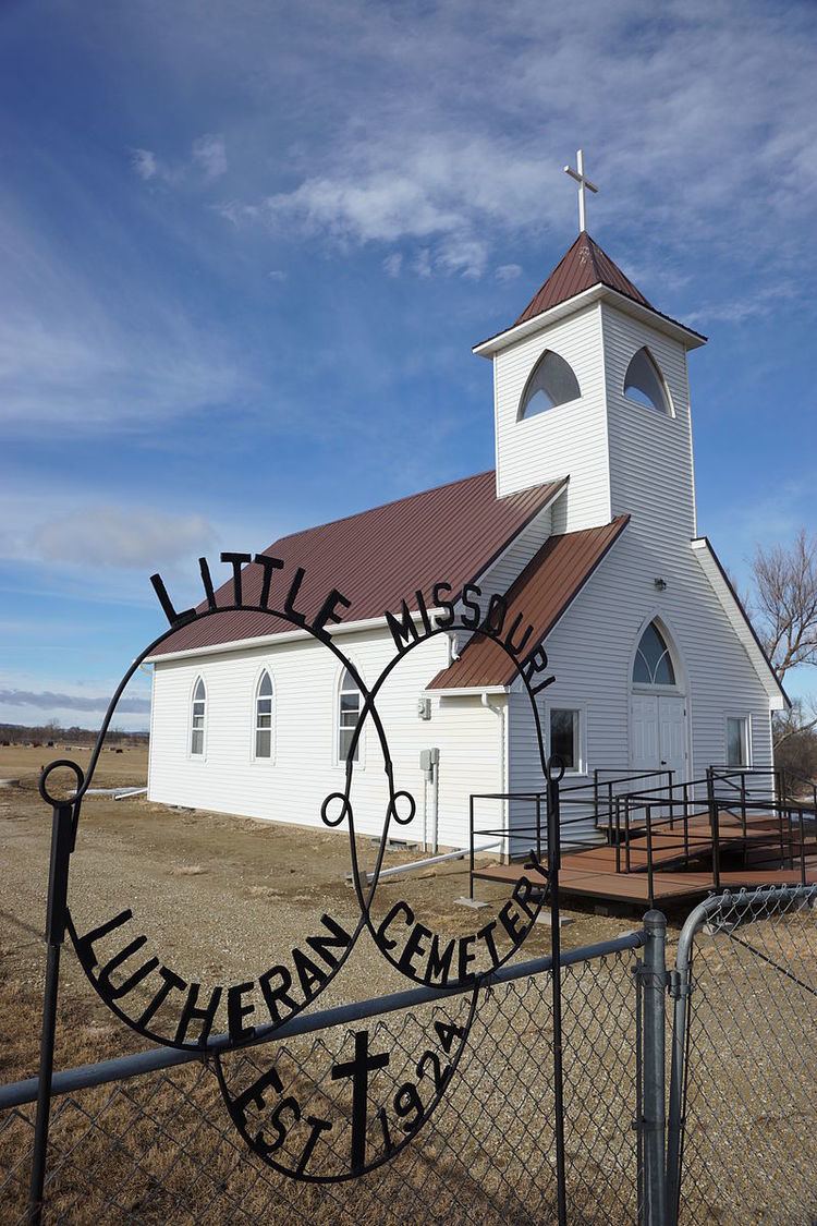
Church
A church named 'Little Missouri Lutheran Church' is located near Capitol. The congregation celebrated its 125th anniversary in 2014. The church was established 5 months before Montana became a state.
Cemeteries
Capitol Cemetery is located northeast of town on Little Missouri Road. Little Missouri Lutheran Church Cemetery located behind current Church location.