
 | ||
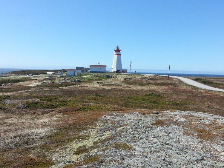
Cape Ray is a small fishing community on the southwest coast of the Island of Newfoundland in the Canadian province of Newfoundland and Labrador.
Contents
Map of Cape Ray, NL, Canada
GeographyEdit
The community is located on the South West Coast just north of the town of Port aux Basques on Route 408. Nearby is the Cape from which the community draws its name. At the entrance to the harbour is a beach known for its 16 kilometer stretch of white sandy beach where the J.T. Cheeseman Provincial Park is located.
In the past, Cape Ray had been prospected for gold, as it was likely to have due to its resting on a fault line called "The Cape Ray Fault."
Surrounding the community are a large number of bodies of fresh water, and many hills, such as Table Mountain and the Twin Hills.
HistoryEdit
Cape Ray, the cape located near the community was the terminus for the overland portion of the transatlantic telegraph cable from St. John's to Cape Ray. From here the cable then takes a submarine route to Cape Breton Island. The area is also known for its discovery of Dorset Paleoeskimo artifacts. An archaeological site has been established in the area.