
Elevation 600 | Area Arctic | |
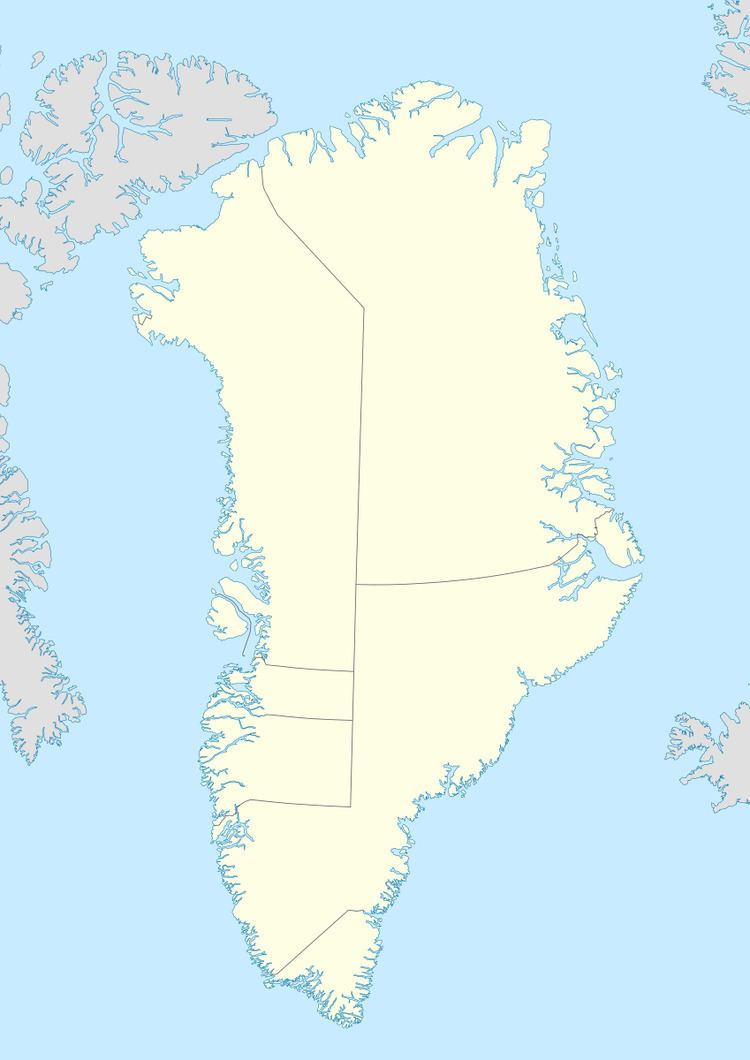 | ||
Cape Morton (Danish: Kap Morton) is a headland in North Greenland in the Qaasuitsup municipality. The cape is named after Arctic explorer William Morton, who surveyed the Nares Strait area together with Hans Hendrik in June 1854 during the Second Grinnell Expedition.
Contents
Map of Cape Moreton, Queensland, Australia
Geography
Cape Morton is located west of Cape Lucie Marie, off the mouth of the Petermann Glacier opposite Cape Tyson at the northern end of the Petermann Peninsula. Mushroom-shaped Joe Island lies 3.2 km from the shore west-north-west of the cape.
Together with Cape Baird on the eastern coast of Ellesmere Island this cape marks the northern limit of the Kennedy Channel and the entrance of the Hall Basin, both part of the Nares Strait.
References
Cape Morton Wikipedia(Text) CC BY-SA