
 | ||
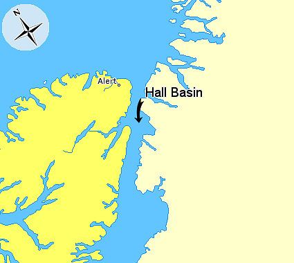
Hall Basin is an Arctic waterway between Hall Land in Greenland to the west and Canada's northernmost island to the east, Ellesmere Island.
Contents
Map of Hall Basin, Baffin, Unorganized, NU, Canada
Hall Basin is named after American polar explorer Charles Francis Hall.
Geography
Hall Basin is located in Nares Strait with its entrance between Cape Baird on the eastern coast of Ellesmere Island and Cape Morton on the northwestern coast of Greenland. Robeson Channel is to the north of the basin, and Kennedy Channel to the south. The basin is irregularly shaped, the entrance to Lady Franklin Bay lies on its western shores, being deeply indented by an extensive fjord system. Although the eastern shore is more regular, it includes the Petermann Fjord of the Petermann Glacier at its southern end.
References
Hall Basin Wikipedia(Text) CC BY-SA