
Country New Zealand Local time Thursday 3:45 AM | Region Marlborough | |
 | ||
Weather 10°C, Wind SE at 19 km/h, 82% Humidity | ||
Gold prospecting trip canvastown pt 1 20 11 2015
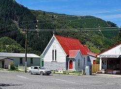
Canvastown is a locality at the point where the Wakamarina River joins the Pelorus River, in Marlborough, New Zealand. State Highway 6 runs through the area. Rai Valley is 17 km to the northwest. Havelock is 10 km to the east.
Contents
- Gold prospecting trip canvastown pt 1 20 11 2015
- Map of Canvastown New Zealand
- History
- Education
- References
Map of Canvastown, New Zealand
History
The town was founded in 1864, after gold was discovered in the Wakamarina Valley. Up to 6000 miners came to make their fortunes. Where there had previously been a Māori Pā, streets of tents sprang up providing accommodation, restaurants and taverns to a population of about 3000 people. About 25,000 ounces (710,000 g) of gold was recovered in 1864. The surface gold was worked out within two years and most of the miners moved to new gold discoveries on the West Coast. Steam dredges continued to work the river into the 20th century.
Education
Canvastown School is a coeducational full primary (years 1-8) school with a decile rating of 5 and a roll of 29. The school was built in 1877 and celebrated its 125th Jubilee in 2002.