
Designation Extractive reserve Area 1,980 km² | Created 27 March 2009 | |
 | ||
Administrator Secretaria de Estado do Meio Ambiente do Amazonas | ||
The Canutama Extractive Reserve (Portuguese: Reserva Extrativista Canutama is an extractive reserve in the state of Amazonas, Brazil.
Contents
Location
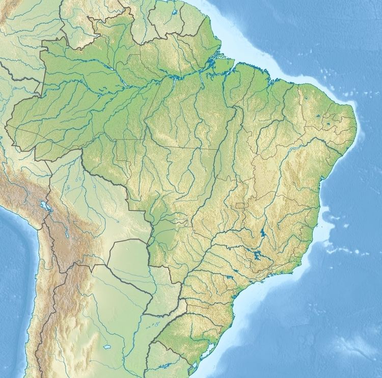
The Canutama Extractive Reserve is in the municipality of Canutama, Amazonas. It has an area of 197,986 hectares (489,230 acres). The reserve lies along a stretch of the Purus River between the towns of Lábrea and Canutama. It adjoins the Canutama State Forest to the north and the Balata-Tufari National Forest to the east. The Médio Purus Extractive Reserve is upstream, to the southwest. To the west the reserve is bounded by the Banawá Indigenous Territory. Vegetation is 100% Amazon rainforest. The population of about 200 families includes gatherers, riverine farmers, fishermen and rubber tappers.
History
The Canutama Extractive Reserve was created by Amazonas state decree 28421 of 27 March 2009. The conservation unit was created with five others totalling 23,000 square kilometres (8,900 sq mi) to help meet the requirements for granting an environmental license to reconstruction work on the BR-319 highway that connects Porto Velho to Manaus. The minister of the environment defended implementation of what he called a "green pocket" around the highway. On 16 November 2009 the Instituto Nacional de Colonização e Reforma Agrária (INCRA – National Institute for Colonization and Agrarian Reform) recognised the reserve as supporting 200 families who would be eligible for PRONAF.
The state-level conservation units in the BR-319 corridor are the Piagaçu-Purus, Rio Amapá, Rio Madeira, Igapó-Açu and Matupiri sustainable development reserves, Canutama Extractive Reserve, Canutama State Forest, Tapauá State Forest and Matupiri State Park. In December 2012 the Amazonas state government allocated more than R$6 million to these nine units, covering 30,000 square kilometres (12,000 sq mi) and 143 communities, to be coordinated by the State Center for Conservation Units (CEUC). The funding was for development of management plans, creation of management councils, environmental monitoring, land survey, and production and marketing.
The management plan was approved on 22 July 2014. As of 2016 the reserve was supported by the Amazon Region Protected Areas Program.