
Established 1995 Time zone ACST (UTC+9:30) | Postcode(s) 5291 Postal code 5291 | |
 | ||
Location 339 km (211 mi) south-east of Adelaide city centre49 km (30 mi) west of Mount Gambier10 km (6 mi) west of Millicent LGA(s) District Council of GrantWattle Range Council. State electorate(s) MacKillopMount Gambier | ||
Canunda is a locality in the Australian state of South Australia located on the state’s south-east coast overlooking the body of water known in Australia as the Southern Ocean and by international authorities as the Great Australian Bight. It is about 339 kilometres (211 mi) south-east of the Adelaide city centre and 49 kilometres (30 mi) south of the centre of Mount Gambier.
Map of Canunda SA 5280, Australia
Boundaries were created in February 1995 for the “long established name” which is reported as being derived from the “Canunda Conservation Park”.
Canunda consists of land along the coastline extending from south of the town centre of Southend in the north to just before the headland of Cape Banks in the south and the land between the coast and Woakwine Ranges in the east including the entirety of Lake Bonney SE.
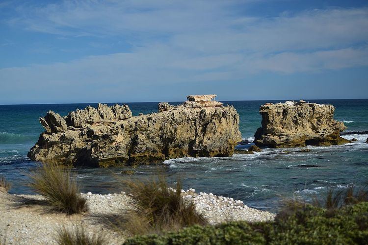
The land use within the locality consists of agriculture and conservation with latter being associated with land adjoining the coastline which includes the protected area known as the Canunda National Park.
The historic Lake Bonney Woolwash and Fellmongery Sites straddle the boundary of Canunda and the adjoining locality of Millicent.
Canunda is located within the federal division of Barker, the state electoral districts of MacKillop and Mount Gambier and the local government areas of the District Council of Grant and the Wattle Range Council.