
Country United States Elevation 435 m Local time Friday 3:44 AM | GNIS feature ID 0470280 Area 94.51 km² Population 705 (2000) | |
 | ||
Weather 1°C, Wind E at 10 km/h, 62% Humidity | ||
Bennett Township is a township in Kingman County, Kansas, USA. As of the 2000 census, its population was 705.
Contents
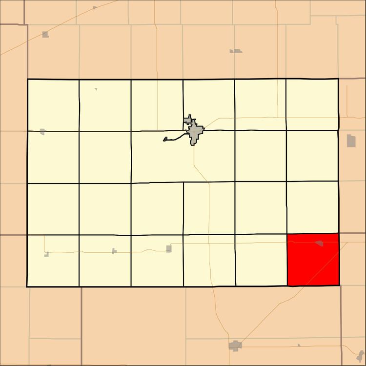
- Map of Bennett KS USA
- Geography
- Cities and towns
- Adjacent townships
- Cemeteries
- Major highways
- Airports and landing strips
- References
Map of Bennett, KS, USA
Geography
Bennett Township covers an area of 36.49 square miles (94.51 square kilometers).
Cities and towns
Adjacent townships
Cemeteries
The township contains two cemeteries: Stitch and Upchurch.
Major highways
Airports and landing strips
References
Bennett Township, Kingman County, Kansas Wikipedia(Text) CC BY-SA