
Area 475 km² | Elevation 2,968 m Highest point Skihist Mountain | |
 | ||
Similar Middle Finger, Mount Frederick William, Mount Arthur, One Eye Peak | ||
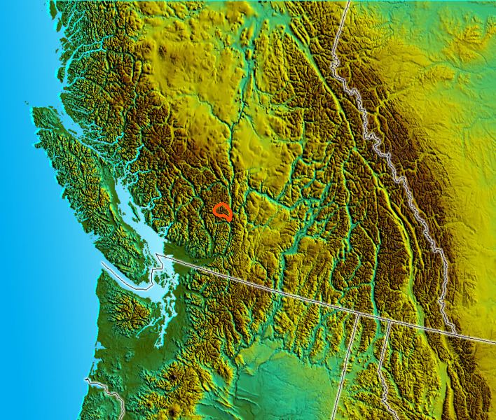
The Cantilever Range is a subrange of the Lillooet Ranges subgrouping of the Pacific Ranges of the Coast Mountains. About 1100 km² in area and about 50 km E-W and 35 km N-S, it is located southwest of Lytton between the valleys of the Stein River (N) and Kwoiek Creek (S).
The Cantilever Range is the highest sector of the Lillooet Ranges and is crowned by Skihist Mountain, which stands 2968 m (9738 ft), making it the highest mountain in southwestern British Columbia. The next-highest is nearby Petlushkwohap Mountain, standing 2939 m (9642 ft). Most other peaks in the range, which is really a ridge between the two watersheds defining it, are more or less subpeaks of these two.
The north flank of the Cantilever Range is in the Stein Valley Nlaka'pamux Heritage Park.