
Population 81 (2006 census) Postcode(s) 6627 Elevation 342 m Postal code 6627 | Established 1928 Founded 1928 Local time Wednesday 2:18 PM | |
 | ||
Weather 36°C, Wind W at 26 km/h, 15% Humidity | ||
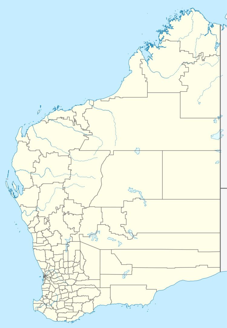
Canna is a small town in the Mid West region of Western Australia. It is located between the towns of Morawa and Mullewa on the Mullewa-Wubin Road. At the 2006 census, Canna had a population of 81.
Map of Canna WA 6627, Australia
Originating as a railway siding on the Wongan Hills to Mullewa railway line the public works department planned to locate a station named Pindawa on the present site. The name was regarded as unsuitable due to its similarity to the existing town of Pindar so in 1914 it was decided to use Canna instead. The townsite was gazetted in 1928.
The main industry in town is wheat farming with the town being a Cooperative Bulk Handling grain receival point.
References
Canna, Western Australia Wikipedia(Text) CC BY-SA