Established 1914 Elevation 253 m Local time Sunday 1:54 PM | Postcode(s) 6623 Founded 1914 Postal code 6623 | |
 | ||
Weather 33°C, Wind N at 29 km/h, 37% Humidity | ||
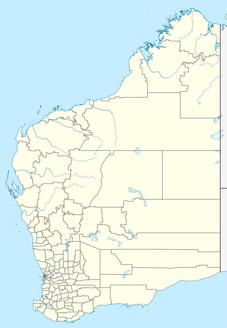
Gutha is a townsite in the Mid West region of Western Australia, 32 kilometres (20 mi) north of Morawa.
Map of Gutha WA 6623, Australia
In 1913 it was decided to establish a train station there, on the Wongan Hills – Mullewa railway. The district surveyor suggested the name "Muthingutha", the Aboriginal name of a nearby rockhole. This was shortened to Gutha by the Lands Department, and Gutha siding was established in 1913. It was gazetted as a townsite in 1914.
The surrounding areas produce wheat and other cereal crops. The town is a receival site for Cooperative Bulk Handling.
References
Gutha, Western Australia Wikipedia(Text) CC BY-SA
