
Elevation 2,577 m (8,455 ft) Area 191,617 km² | Region Ayacucho UBIGEO 0502 | |
 | ||
Website | ||
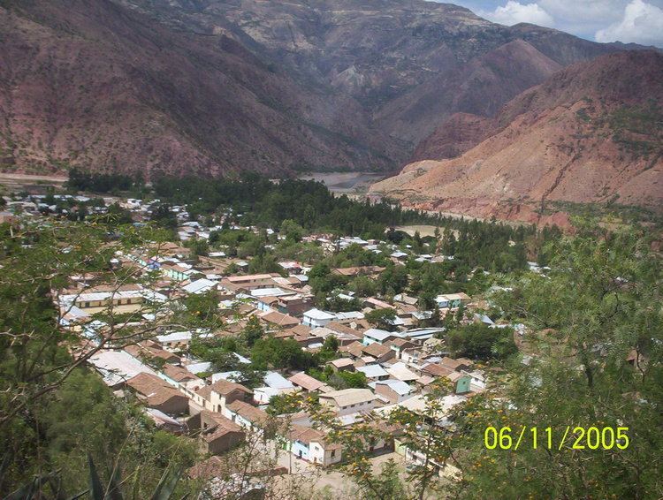
The Cangallo Province is a province located in the Ayacucho Region of Peru. It is one of the eleven that make up the region. The province has a population of 36,977 inhabitants as of census 2005. The capital of the province is the city of Cangallo.
Contents
- Map of Cangallo Province Peru
- Boundaries
- Geography
- Political division
- Ethnic groups
- Archaeology
- References
Map of Cangallo Province, Peru
Boundaries
Geography
One of the highest mountains of the province is Chiqllarasu at 5,167 m (16,952 ft). Other mountains are listed below:
Political division
The province extends over an area of 1,916.17 square kilometers (739.84 sq mi) and is divided into six districts:
Ethnic groups
The people in the province are mainly indigenous citizens of Quechua descent. Quechua is the language which the majority of the population (90.14%) learnt to speak in childhood, 9.62% of the residents started speaking using the Spanish language (2007 Peru Census).
Archaeology
Various archaeological sites of the province were declared a National Cultural Heritage. Some of the most important sites of the province are listed below: