
Length 49 km (30 mi) Start point Sète | End point Aigues-Mortes | |
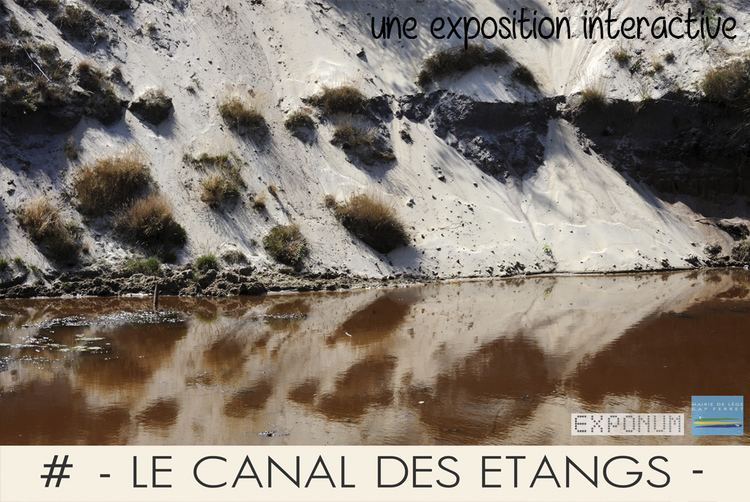 | ||
The Canal des Étangs was a canal in southern France. It is now part of the Canal du Rhône à Sète along with the Canal de Beaucaire. It was created by the state of Languedoc. The project consisted of enlarging ancient medieval channels through and between the shallow lakes and salt marshes, connecting Sète and Aigues-Mortes.
Contents
Map of Canal des %C3%89tangs, France
En Route
References
Canal des Étangs Wikipedia(Text) CC BY-SA