
Max. length 25 km (16 mi) | Max. width 12 km (7.5 mi) Island Ilhéu dos Pássaros | |
 | ||
Pescaria de espada no canal de s o vicente
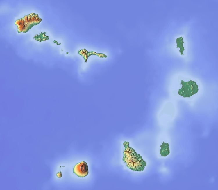
The Canal de São Vicente is a channel of the Atlantic Ocean separating the islands of Santo Antão and São Vicente, Cape Verde.
Contents
Geography
At its narrowest point, it is 12 km wide. The ferry route between the ports of Porto Novo on Santo Antão and Mindelo on São Vicente crosses the canal as well as ferry routes linking the islands of São Nicolau and Santiago. The channel begins in São Vicente's northwesternmost cape near Monte Cara up to the headland Ponta de João d'Évora in the northeast. The highest point is about 150 to 160 meters below sea level and the deepest is about 500 to 600 meters below. Within 1 to 1.5 kilometers from the island shore and the bay, it is about 100 meters below sea level.
History
During the Ice Age, the channel was very narrow and the islands were met by about 500 meters to a kilometer apart, over 8,000 to 6,000 years ago, it became ten kilometers wide.