Country United States Time zone Eastern (EST) (UTC-5) Elevation 235 m Local time Tuesday 8:04 PM Area code 740 | FIPS code 39-11318 Area 108 ha Population 320 (2010) | |
 | ||
Weather 9°C, Wind W at 18 km/h, 87% Humidity | ||
Canal Lewisville is an unincorporated community and census-designated place (CDP) in Coshocton County, Ohio, in the United States. As of the 2010 census it had a population of 320.
Contents
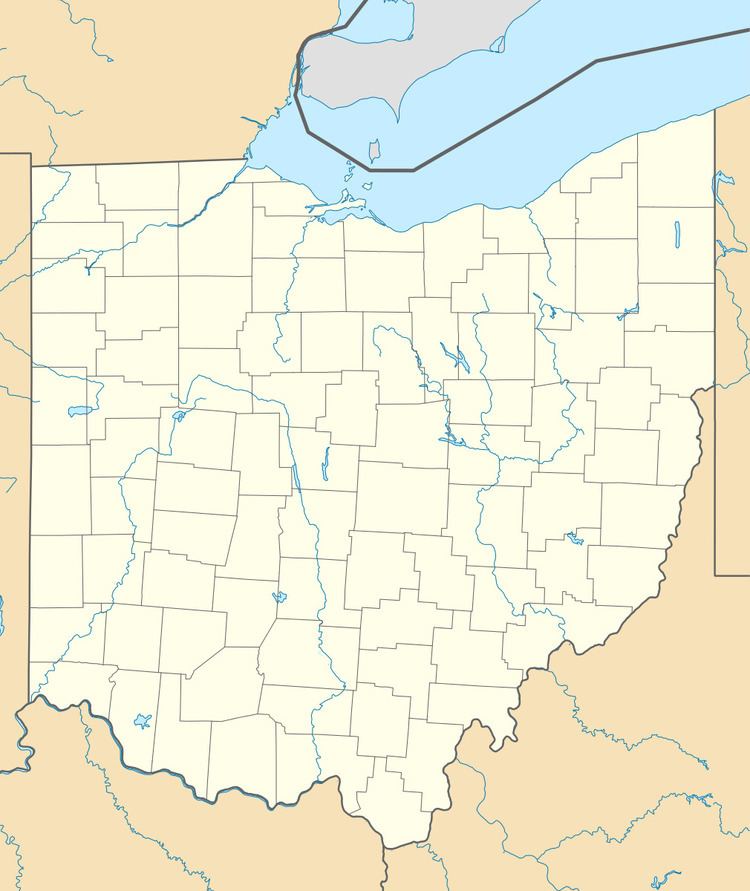
Map of Canal Lewisville, Tuscarawas Township, OH 43812, USA
History
Canal Lewisville had its start by the building of the Ohio Canal through that territory. It was laid out as a town in 1832 by T. Butler Lewis and others, and named for the former. A post office called Canal Lewisville was established in 1845, and remained in operation until 1915.
Geography
Canal Lewisville is located in east-central Coshocton County on the border of Keene and Tuscarawas townships. It is on the north bank of the Tuscarawas River, 3.3 miles (5.3 km) northeast (upstream) of its confluence with the Walhonding River at Coshocton to form the Muskingum River, a tributary of the Ohio.
According to the United States Census Bureau, the CDP has an area of 0.42 square miles (1.1 km2), all land.
