
Location Ontario, Canada Max depth 4.57 m Length 8.4 km Province Ontario | Surface area 2,136 acres (8.64 km) Area 8.64 km² Width 2.6 km | |
 | ||
Max. length 8.4 kilometres (5.2 mi) Max. width 2.6 kilometres (1.6 mi) Average depth 4.44 feet (1.35 m) to 15 feet (4.6 m) Bridges Canal Lake Concrete Arch Bridge | ||
Sit back sunday gopro boat cruise balsam lake to canal lake
Canal Lake is a lake of Ontario, Canada situated on the Trent Severn Waterway and is a Kawartha Lake. The lake is triangular, roughly 8.4 km long and 2.6 km at its widest point with an area of 2136 acres. The depth ranges from 4.44 feet to a max depth of 15 feet. Canal Lake is a medium size lake with a large diversity of fishing spots.
Contents
- Sit back sunday gopro boat cruise balsam lake to canal lake
- Map of Canal Lake Kawartha Lakes ON Canada
- Historic sites and monuments
- Fishing
- Nearby attractions
- Nearby towns
- References
Map of Canal Lake, Kawartha Lakes, ON, Canada
It is located between Kirkfield on the east and Bolsover to the west. Canal Lake is the most north-western of the Kawartha Lakes. It is the first lake east of Lake Simcoe (connected by the Talbot River) also connected to the west of Mitchell and Balsam Lakes. It is located between lock #37 Bolsover and Lock #36 Kirkfield lift lock.
Water levels are controlled. In the winter, Canal Lake has levels reduced by 3 feet for shoreline maintenance. The levels are raised up again in the Spring.
Historic sites and monuments
The "Hole in the Wall" bridge was built in 1905 and is also known as the Canal Lake Concrete Arch Bridge. It was designed by the federal Department of Railways and Canals. It is located on Centennial Park Road on the southwest side of the Trent Severn Waterway bridge, northeast of Bolsover. The bridge was designated a National Historic Site of Canada in 1988.
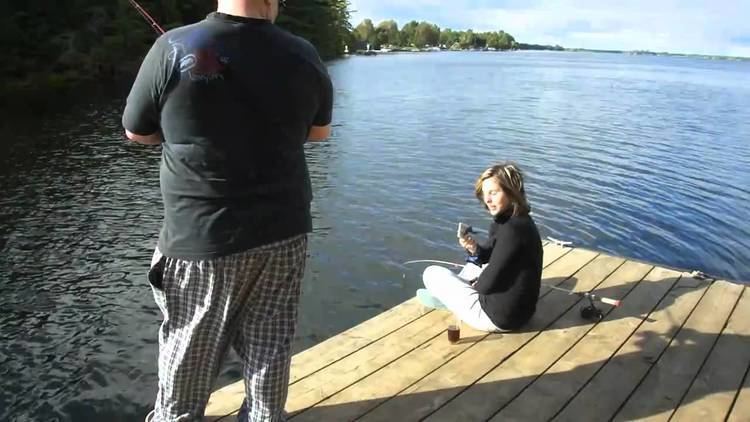
Fishing
There is a variety of fish available including largemouth bass, pike and muskellunge (muskie) and an abundance of panfish.