
Postcode(s) 2318 Area 15.8 km² | Time zone AEST (UTC+10) Parish Stowell Elevation 5 m Postal code 2318 | |
 | ||
Location 177 km (110 mi) NNE of Sydney31 km (19 mi) N of Newcastle12.6 km (8 mi) E of Raymond Terrace CBD | ||
Campvale is a sparsely populated rural suburb of the Port Stephens local government area in the Hunter Region of New South Wales, Australia.
Contents
Map of Campvale NSW 2318, Australia
Geography
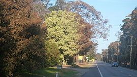
Campvale is roughly rectangular in shape and consists predominantly of bushland on sandy soil. It is bisected by Richardson Road, the main east-west road between Raymond Terrace and Port Stephens. In the centre of the suburb, Medowie Road, the main south-north road connecting Williamtown, Campvale, Medowie and Ferodale to the Pacific Highway, crosses Richardson Road at the Medowie roundabout. There is only one other road in the suburb, in the northeastern corner. Adjacent to Grahamstown Dam, Grahamstown Road skirts the dam, providing access from Richardson Road to Medowie.
A small number of properties are located to the north of Richardson Road, between Grahamstown Dam and the Medowie Roundabout. This is the only populated area in the suburb.