Population 7 (2011 census) Time zone AEST (UTC+10) Area 82.1 km² Local time Saturday 12:34 PM | Postcode(s) 2318 Elevation 12 m Postal code 2318 | |
 | ||
Weather 24°C, Wind S at 21 km/h, 50% Humidity | ||
Ferodale is a sparsely populated rural suburb of the Port Stephens local government area in the Hunter Region of New South Wales, Australia. A large portion of the suburb is occupied by Grahamstown Dam, the lower Hunter Region's main water storage reservoir.
Contents
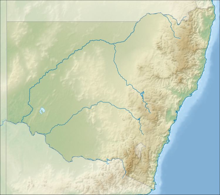
Map of Ferodale NSW 2318, Australia
Geography
Ferodale is immediately to the east of the Pacific Highway and to the north of Richardson Road, the main road between Raymond Terrace and Port Stephens. It is bisected by Medowie Road, which connects the Pacific Highway to Medowie. The entire southwestern corner of the suburb, approximately 39 km2 (15 sq mi) or 48% of the total area, is occupied by Grahamstown Lake and its immediate surrounds. Although the suburb borders Raymond Terrace, residents of the suburb are closer to Medowie.
References
Ferodale, New South Wales Wikipedia(Text) CC BY-SA
