
Population 8,843 (2011 census) Time zone AEST (UTC+10) Area 42.1 km² Local time Saturday 2:28 AM | Postcode(s) 2318 Elevation 6 m Postal code 2318 | |
 | ||
Location 181 km (112 mi) NNE of Sydney34 km (21 mi) N of Newcastle16 km (10 mi) ENE of Raymond Terrace Weather 21°C, Wind E at 24 km/h, 99% Humidity | ||
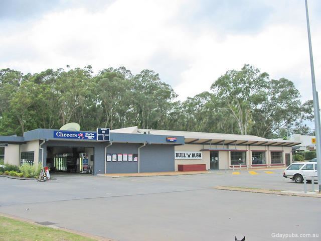
Medowie /mɛˈdaʊ.iː/ is a suburb of the Port Stephens local government area in the Hunter Region of New South Wales, Australia. It is located approximately 34 km (21 mi) by road north of Newcastle, not far from RAAF Base Williamtown and is home to a large number of the personnel stationed there.
Map of Medowie NSW 2318, Australia
It was a small rural town until a property and commercial boom in the 1980s and had a population of 8,843 at the 2011 census.
Medowie is home to a Rural Fire Station, formed in 1946.
The town has two government primary schools (Medowie Public School and Wirreanda Public School) as well as a Christian school. A large residential golf course is located at the southern end of the town.
Medowie is also home to many sporting clubs supporting soccer, cricket, rugby union, golf, AFL, netball, tennis as well as Little Athletics.