
Area 792.5 km² Population 10,187 (2013) | Website www.camdencountync.gov Founded 1777 | |
 | ||
Rivers Pasquotank River, North River, Indiantown Creek | ||
Camden County is a county located in the American state of North Carolina. As of the 2010 census, the population was 9,980, making it the fourth-least populous county in North Carolina. Its county seat is Camden.
Contents
- Map of Camden County NC USA
- History
- Geography
- Adjacent counties and independent cities
- National protected area
- Major highways
- Demographics
- Government
- Education
- City
- Census designated places
- Other unincorporated communities
- Townships
- References
Map of Camden County, NC, USA
Camden County is part of the Elizabeth City, NC Micropolitan Statistical Area, which is also included in the Virginia Beach-Norfolk, VA-NC Combined Statistical Area.
History
The county was formed in 1777 from the northeastern part of Pasquotank County. It was named for Charles Pratt, 1st Lord Camden, who had opposed the Stamp Act. The county is the site of the southern terminus of the Dismal Swamp Canal. It was the site of the Battle of South Mills on April 19, 1862 during the American Civil War, which was a minor victory to the Confederacy.
Shiloh Baptist Church, founded around 1727 by Paul Palmer, is the oldest Baptist church in North Carolina. It is located in the Shiloh township.
Though technically there are (or were) no incorporated municipalities in Camden County, the county became the first consolidated city-county entity in North Carolina in June 2006.
Camden County is the location of Academi's Blackwater Lodge and Training Center for paramilitary and security operations.
Geography
According to the U.S. Census Bureau, the county has a total area of 310 square miles (800 km2), of which 241 square miles (620 km2) is land and 70 square miles (180 km2) (22%) is water.
Adjacent counties and independent cities
National protected area
Major highways
Demographics
As of the census of 2010, there were 9,980 people, 2,662 households, and 2,023 families residing in the county. The population density was 29 people per square mile (11/km²). There were 2,973 housing units at an average density of 12/sq mi (5/km²). The racial makeup of the county was 82.1% White, 13.2% Black or African American, 0.3% Native American, 1.5% Asian, 0.1% Pacific Islander, 0.7% from other races, and 2.1% from two or more races. 2.2% of the population were Hispanic or Latino of any race.
There were 2,662 households out of which 31.60% had children under the age of 18 living with them, 62.20% were married couples living together, 9.40% had a female householder with no husband present, and 24.00% were non-families. 20.70% of all households were made up of individuals and 9.50% had someone living alone who was 65 years of age or older. The average household size was 2.58 and the average family size was 2.97.
In the county, the population was spread out with 24.50% under the age of 18, 6.30% from 18 to 24, 30.50% from 25 to 44, 25.20% from 45 to 64, and 13.60% who were 65 years of age or older. The median age was 39 years. For every 100 females there were 98.40 males. For every 100 females age 18 and over, there were 96.90 males.
The median income for a household in the county was $39,493, and the median income for a family was $45,387. Males had a median income of $36,274 versus $24,875 for females. The per capita income for the county was $18,681. 10.10% of the population and 7.90% of families were below the poverty line. Out of the total people living in poverty, 12.60% are under the age of 18 and 20.30% are 65 or older.
Government
Camden County is a member of the Albemarle Commission regional council of governments.
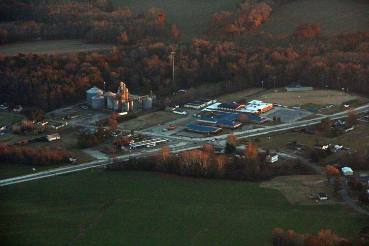
Education
There are five schools in Camden County: Grandy Primary School, Camden Intermediate School, Camden Middle School, Camden County High School, and CamTech High School. However one other former school lies in Shiloh. It was a community school for the Shiloh area. The school is now home to a general store with the Topside Restaurant on top. The Shiloh School sign is still visible on the top of the facade at the front of the building.