
Country United States County Camden ZIP code 27921, 27929 Elevation 2.5 m Local time Tuesday 3:15 AM | Time zone Eastern (EST) (UTC-5) GNIS feature ID 1019481 Population 599 (2010) Area code Area code 252 | |
 | ||
Weather 9°C, Wind SW at 8 km/h, 80% Humidity Area 4.118 km² (4.092 km² Land / 2 ha Water) | ||
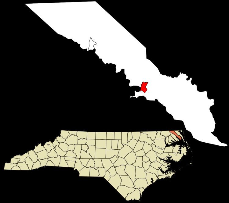
Camden is an unincorporated community and census-designated place (CDP) in Camden County, North Carolina, United States. It is the county seat of Camden County, a consolidated city-county. As of the 2010 census, the Camden CDP had a population of 599
Map of Camden, NC 27921, USA
Camden is located on the eastern banks of the Pasquotank River, across from which lies Elizabeth City. It currently has two traffic lights, and is centered at the intersection of U.S. Highway 158 and North Carolina Highway 343. It boasts five schools: Grandy Primary School, Camden Intermediate School, Camden Middle School, Camden County High, and Camden Early College High School.
Camden is part of the Elizabeth City, North Carolina Micropolitan Statistical Area.
The Camden County Courthouse, Camden County Jail, Lamb-Ferebee House, and Milford are listed on the National Register of Historic Places.