
Canton Cambremer Area 23.57 km² Local time Tuesday 7:13 AM | Region Normandy Intercommunality Cambremer Population 1,092 (1999) | |
 | ||
Weather 5°C, Wind W at 14 km/h, 79% Humidity | ||
Trail pom haies de cambremer 2016 partants du 26 kms
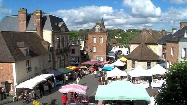
Cambremer is a commune in the Calvados department in the Normandy region in northwestern France. Cambremer is located in the heart of the Pays d'Auge, between Lisieux and Caen.
Contents
- Trail pom haies de cambremer 2016 partants du 26 kms
- Map of 14340 Cambremer France
- Cambremer
- Etymology
- History
- Heraldry
- References
Map of 14340 Cambremer, France
Cambremer
Etymology
We do not know the exact etymology of the name of the town. The village is mentioned, however, from the seventh century under the Latinized form of Cambrimaro.
The second element is probably the Germanic meaning lake or pond (see Old English meri: lake, pond, now in place names -Mère). Common in the north of France (see Mortemer ).
History
In 1972, the commune of Grandouet in the canton of Cambremer and those of Saint-Aubin-sur-Algot and Saint-Pair-du-Mont, in the township of Mézidon-Canon, are incorporated in Cambremer.
Heraldry
Weapons Cambremer The arms of the town of Cambremer emblazon well: Gules the two-headed eagle displayed gold.