
 | ||
Cambanoora gorge the great south east channel 7 31 07 2011
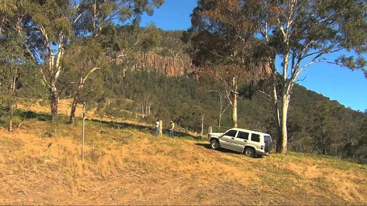
The Cambanoora Gorge runs between the source of the Condamine River and the town of Killarney in Queensland, Australia. It is also known as the Condamine Gorge or the 14 River Crossings.
Contents
The gorge begins in the historical area of The Head which is borderd by Wilsons Peak to the east and Mount Superbus to the north. Commencing at this broad grassland, the Gorge narrows as the river encounters harder trachyte rock. This creates a dramatic landscape.
The road through the gorge was used to carry supplies and mail to early settlers along the length of the gorge, and to bring timber to the railway in Killarney. It is now a 4WD track which crosses the Condamine River 14 times.
The Crossings are named First, Second, Double, Mawhirts, Bullocky, Flaggie, Rocky, Mill, Reis', Heywood's, Billy John's, Andrew Evan's, Long and Watson's Crossing in order from The Head down river.
The Gorge is part of the Bicentennial National Trail.