
Municipal seat Calkiní Created 1 January 1916 Area 2,324 km² Capital Calkiní | Time zone CST (UTC−6) Website www.calkini.gob.mx Population 56,537 (2015) | |
 | ||
Points of interest Becal Museum, Celestún, Manglares de Dzinintun, Parque Infantil Celestun, El Remate Calkini | ||
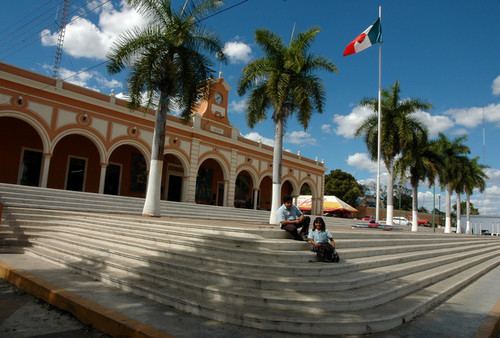
Calkiní (Yucatec Maya: "throat of the sun") is one of the 11 municipalities in the Mexican state of Campeche. It is situated at the northern tip of the state, on the central western coast the Yucatán Peninsula. The municipal seat, and largest settlement, is the city of Calkiní.
Contents
Map of Calkini, Campeche, Mexico
History and geography
The municipality of Calkiní borders to the west with the Gulf of Mexico; to the north and east with the state of Yucatán; and to the south with the municipality of Hecelchakán. It covers 1,966.57 km².
Demographics
The 2010 census reported a population of 52,890 persons. Of these, 26,127 spoke one of several indigenous languages, predominantly Yucatec Maya.
As of 2010, the city of Calkiní had a population of 14,934. Other than the city of Calkiní, the municipality had 202 localities, the largest of which (with 2010 populations in parentheses) were: Dzitbalché (11,686), Bécal (6,511), Nunkiní (5,859), Bacabchén (2,527), classified as urban, and Santa Cruz Pueblo (1,908), Tepakán (1,895), San Antonio Sahcabchén (1,858), Santa Cruz Ex-Hacienda (1,255), and Tankuché (1,006), classified as rural.
Heritage
The Maya archaeological site of Can-Mayab-Mul is in Nunkiní.