
Length 61.22 km | ||
 | ||
North end: SR 180 near Squaw Valley | ||
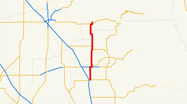
State Route 63 (SR 63) is a north–south state highway in the U.S. state of California in the Central Valley. It begins from near Tulare at Route 137, runs north through the city of Visalia and the towns of Cutler and Orosi, before ending 8 miles (13 km) north of Orange Cove, where it reaches its northern terminus at Route 180, roughly 2 and 1/2 miles southwest of the town of Squaw Valley. State Route 63 runs concurrent with Route 198 within Visalia.
Contents
Map of CA-63, California, USA
Route description
SR 63 is part of the California Freeway and Expressway System.
SR 63 begins in the city of Tulare at an intersection with SR 137. It travels due north as Mooney Boulevard before leaving the Tulare city limits. The highway soon enters Visalia, intersecting CR J30 and passing through to the SR 198 freeway, where SR 63 merges with the freeway heading eastbound until the next exit. Following this, SR 63 turns north as a one-way couplet with Locust Street for southbound traffic and Court Street for northbound traffic. SR 63 intersects with CR J32 in downtown Visalia before turning northwest on NW 2nd Avenue and NW 3rd Avenue. North of downtown, NW 2nd Avenue and NW 3rd Avenue merge and become Dinuba Boulevard, and SR 63 continues north out of Visalia.
SR 63 continues north as Road 124, intersecting CR J34 and passing by Sequoia Field Airport. The road makes a small bend to the east, running concurrently with SR 201 briefly as Road 128 in the town of Calgro. SR 63 continues through Cutler and Orosi before intersecting CR J19 and traveling west on Avenue 460 for two blocks before continuing north at the city of Orange Cove as Hills Valley Road. After a few curves in the road, SR 63 ends at SR 180.
Major intersections
Except where prefixed with a letter, postmiles were measured on the road as it was in 1964, based on the alignment that existed at the time, and do not necessarily reflect current mileage. R reflects a realignment in the route since then, M indicates a second realignment, L refers an overlap due to a correction or change, and T indicates postmiles classified as temporary (for a full list of prefixes, see the list of postmile definitions). Segments that remain unconstructed or have been relinquished to local control may be omitted. The numbers reset at county lines; the start and end postmiles in each county are given in the county column.