
County Tulare FIPS code 06-17708 Area 209 ha Zip code 93615 Area code Area code 559 | Time zone Pacific (PST) (UTC-8) GNIS feature ID 1658363 Elevation 110 m Population 5,000 (2010) | |
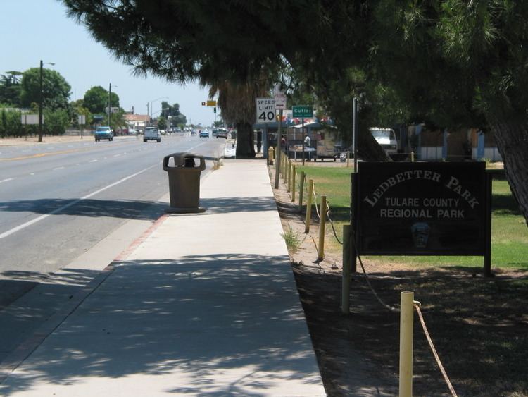 | ||
Cutler is a community and census-designated place (CDP) in Tulare County, California, United States. The population was 5,000 at the 2010 census, up from 4,491 at the 2000 census.
Contents
Map of Cutler, CA 93615, USA
Geography
Cutler is located at 36°31′29″N 119°17′20″W (36.524791, -119.288991).
According to the United States Census Bureau, the CDP has a total area of 0.8 square miles (2.1 km2), all of it land.
Cutler is located by the junction of routes 63 and 201.
2010
The 2010 United States Census reported that Cutler had a population of 5,000. The population density was 6,194.8 people per square mile (2,391.8/km²). The racial makeup of Cutler was 2,421 (48.4%) White, 50 (1.0%) African American, 53 (1.1%) Native American, 64 (1.3%) Asian, 1 (0.0%) Pacific Islander, 2,241 (44.8%) from other races, and 170 (3.4%) from two or more races. Hispanic or Latino of any race were 4,829 persons (96.6%).
The Census reported that 5,000 people (100% of the population) lived in households, 0 (0%) lived in non-institutionalized group quarters, and 0 (0%) were institutionalized.
There were 1,085 households, out of which 729 (67.2%) had children under the age of 18 living in them, 651 (60.0%) were opposite-sex married couples living together, 190 (17.5%) had a female householder with no husband present, 141 (13.0%) had a male householder with no wife present. There were 114 (10.5%) unmarried opposite-sex partnerships, and 7 (0.6%) same-sex married couples or partnerships. 65 households (6.0%) were made up of individuals and 28 (2.6%) had someone living alone who was 65 years of age or older. The average household size was 4.61. There were 982 families (90.5% of all households); the average family size was 4.55.
The population was spread out with 1,859 people (37.2%) under the age of 18, 681 people (13.6%) aged 18 to 24, 1,376 people (27.5%) aged 25 to 44, 826 people (16.5%) aged 45 to 64, and 258 people (5.2%) who were 65 years of age or older. The median age was 24.6 years. For every 100 females there were 113.9 males. For every 100 females age 18 and over, there were 119.8 males.
There were 1,136 housing units at an average density of 1,407.4 per square mile (543.4/km²), of which 474 (43.7%) were owner-occupied, and 611 (56.3%) were occupied by renters. The homeowner vacancy rate was 1.0%; the rental vacancy rate was 4.0%. 2,137 people (42.7% of the population) lived in owner-occupied housing units and 2,863 people (57.3%) lived in rental housing units.
2000
As of the census of 2000, there were 4,491 people, 909 households, and 826 families residing in the CDP. The population density was 5,911.7 people per square mile (2,281.6/km²). There were 973 housing units at an average density of 1,280.8 per square mile (494.3/km²). The racial makeup of the CDP was 34.45% White, 0.38% African American, 1.18% Native American, 0.82% Asian, 58.63% from other races, and 4.54% from two or more races. Hispanic or Latino of any race were 96.24% of the population.
There were 909 households out of which 60.1% had children under the age of 18 living with them, 63.1% were married couples living together, 17.3% had a female householder with no husband present, and 9.1% were non-families. 5.1% of all households were made up of individuals and 3.0% had someone living alone who was 65 years of age or older. The average household size was 4.94 and the average family size was 4.81.
In the CDP, the population was spread out with 37.4% under the age of 18, 15.7% from 18 to 24, 29.0% from 25 to 44, 13.0% from 45 to 64, and 4.9% who were 65 years of age or older. The median age was 24 years. For every 100 females there were 126.5 males. For every 100 females age 18 and over, there were 131.4 males.
The median income for a household in the CDP was $24,330, and the median income for a family was $24,432. Males had a median income of $18,250 versus $16,622 for females. The per capita income for the CDP was $6,254. About 33.2% of families and 39.1% of the population were below the poverty line, including 51.2% of those under age 18 and 35.7% of those age 65 or over.
Government
In the California State Legislature, Cutler is in the 14th Senate District, represented by Republican Andy Vidak, and the 26th Assembly District, represented by Republican Devon Mathis.
In the United States House of Representatives, Cutler is in California's 22nd congressional district, represented by Republican Devin Nunes