
Length 54.33 km | ||
 | ||
North end: CR J16 / CR J59 at Snelling | ||
State Route 59 (SR 59) is a California state highway that connects State Route 152 to the city of Merced and beyond, ending abruptly at the intersection of County Routes J59 and J16 in Snelling.
Contents
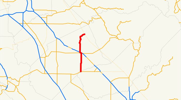
Map of CA-59, Merced, CA, USA
Route description
SR 59 is part of the California Freeway and Expressway System.
SR 59 begins at SR 152 as Los Banos Highway. The highway travels north through the town of El Nido until entering the city of Merced, where it runs concurrently with the SR 99 freeway and with SR 140. SR 59 leaves the concurrency on the west side of Merced and travels north as the Snelling Highway. The highway winds up the Sierra Nevada foothills until it passes through Snelling, where it ends.
Future
In January 2010, the Tuolumne County board of supervisors made a formal request to the state to add the entire length of County Route J59 as a northerly extension of State Route 59 from its terminus in Snelling, Merced County, to the intersection of State Routes 108 and 120 in Tuolumne County.
Major intersections
Except where prefixed with a letter, postmiles were measured on the road as it was in 1964, based on the alignment that existed at the time, and do not necessarily reflect current mileage. R reflects a realignment in the route since then, M indicates a second realignment, L refers an overlap due to a correction or change, and T indicates postmiles classified as temporary (for a full list of prefixes, see the list of postmile definitions). Segments that remain unconstructed or have been relinquished to local control may be omitted. The entire route is in Merced County.