
Length 13.36 km | ||
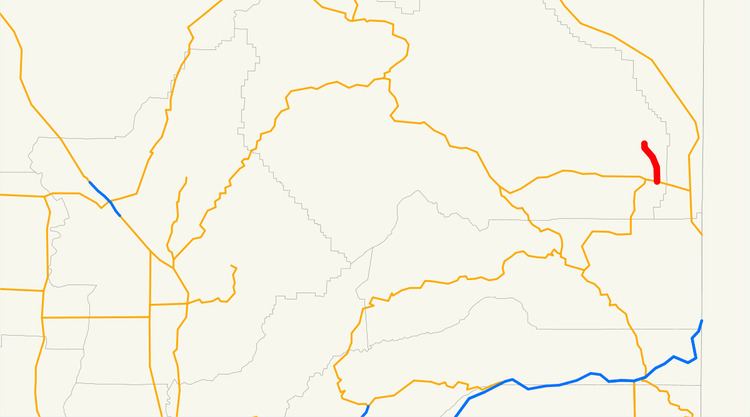 | ||
State Route 284 is a short state highway in Plumas County, California. It is a spur route off from State Route 70 in Chilcoot connecting to Frenchman Lake.
Contents
Map of CA-284, Beckwourth, CA 96129, USA
Route description
The route begins at State Route 70 at Chilcoot. It then continues north to its north end at the Frenchman Lake Recreation Area at Frenchman Lake.
Major intersections
Except where prefixed with a letter, postmiles were measured on the road as it was in 1964, based on the alignment that existed at the time, and do not necessarily reflect current mileage. R reflects a realignment in the route since then, M indicates a second realignment, L refers an overlap due to a correction or change, and T indicates postmiles classified as temporary (for a full list of prefixes, see the list of postmile definitions). Segments that remain unconstructed or have been relinquished to local control may be omitted. The entire route is in Plumas County.