
Length 573 m | ||
 | ||
Existed: 1970 (from US 101) – present | ||
State Route 283 (SR 283) is a state highway in the U.S. state of California. Unsigned along its entire length, SR 283 runs from U.S. Route 101 south of Rio Dell to the center of the city and back to U.S. Route 101. The route was defined in 1970 as a transfer from a realigned Route 101.
Contents
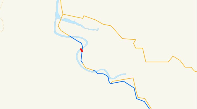
Map of CA-283, Rio Dell, CA 95562, USA
Route description
State Route 283 largely serves as a trunk route into Rio Dell while relegating the maintenance of the Eel River Bridge to Caltrans. The bridge itself was built in 1941, when U.S. Route 101 ran through what was then known as Eagle Prairie. In 1977, the bridge was renamed the Albert Stanwood Murphy Memorial Bridge, in honor of the Pacific Lumber Company president who assisted the Save-the-Redwoods League. In 1990, the bridge was given a second name, the Eagle Prairie Bridge, in honor of the 50th anniversary of the bridge's construction and the 25th anniversary of Rio Dell's incorporation.
Major intersections
Except where prefixed with a letter, postmiles were measured on the road as it was when the route was established, based on the alignment that existed at the time, and do not necessarily reflect current mileage. R reflects a realignment in the route since then, M indicates a second realignment, L refers an overlap due to a correction or change, and T indicates postmiles classified as temporary (for a full list of prefixes, see the list of postmile definitions). Segments that remain unconstructed or have been relinquished to local control may be omitted. The entire route is in Humboldt County.