
Counties: Lake | East end: SR 29 near Glenview Length 4.8 km | |
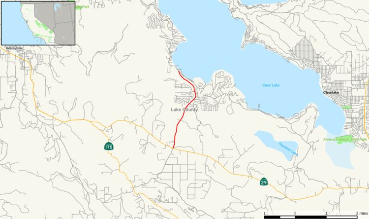 | ||
State Route 281 (SR 281) is a partially constructed state highway in Lake County, California, United States. It is a northeastern loop off of State Route 29 along the edge of Clear Lake.
Contents
Map of CA-281, Kelseyville, CA 95451, USA
Route description
The route currently begins at Clear Lake from Soda Bay Road and heads east. After three miles, it meets its east end at State Route 29.
The planned segment west along Soda Bay Road to Lakeport remains unconstructed. This portion of Soda Bay Road is currently Lake County Route 502.
Major intersections
Except where prefixed with a letter, postmiles were measured on the road as it was in 1964, based on the alignment that existed at the time, and do not necessarily reflect current mileage. R reflects a realignment in the route since then, M indicates a second realignment, L refers an overlap due to a correction or change, and T indicates postmiles classified as temporary (for a full list of prefixes, see the list of postmile definitions). Segments that remain unconstructed or have been relinquished to local control may be omitted. The entire route is in Lake County.