
Counties: Mono County Condado de Mono | Length 15.78 km | |
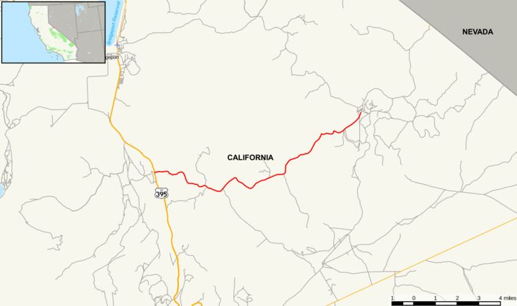 | ||
State Route 270 (SR 270) is a state highway located in the U.S. state of California in Mono County. It is a spur route off of U.S. Route 395 south of Bridgeport, leading into Bodie State Historic Park.
Contents
Map of CA-270, Bridgeport, CA 93517, USA
Route description
The route connects U.S. Route 395 with Bodie State Historic Park. A few miles before entering this park, which holds a preserved ghost town, are unpaved.
Major intersections
Except where prefixed with a letter, postmiles were measured on the road as it was in 1964, based on the alignment that existed at the time, and do not necessarily reflect current mileage. R reflects a realignment in the route since then, M indicates a second realignment, L refers an overlap due to a correction or change, and T indicates postmiles classified as temporary (for a full list of prefixes, see the list of postmile definitions). Segments that remain unconstructed or have been relinquished to local control may be omitted. The entire route is in Mono County.