
Length: 19.36 mi (31.16 km) | ||
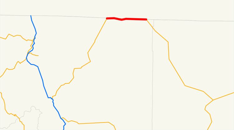 | ||
State Route 161 is a California state highway running along the California-Oregon state line from U.S. Route 97 north of Dorris to the intersection of Route 139 and Oregon Route 39 north of Tulelake. Route 161 is part of the Volcanic Legacy Scenic Byway.
Contents
Route description
SR 161 is eligible for the State Scenic Highway System.
SR 161 begins at an intersection with U.S. Route 97 north of Dorris. The route travels east past Indian Tom Lake, bending to the south and passing by Lake Miller and Sheepy Lake. SR 161 continues past the Lower Klamath National Wildlife Refuge, which includes Lower Klamath Lake, and White Lake, now paralleling the state line again to the intersection of Route 139 and Oregon Route 39 north of Tulelake in the community of Hatfield.
Major intersections
Except where prefixed with a letter, postmiles were measured on the road as it was in 1964, based on the alignment that existed at the time, and do not necessarily reflect current mileage. R reflects a realignment in the route since then, M indicates a second realignment, L refers an overlap due to a correction or change, and T indicates postmiles classified as temporary (for a full list of prefixes, see the list of postmile definitions). Segments that remain unconstructed or have been relinquished to local control may be omitted. The entire route is in Siskiyou County.