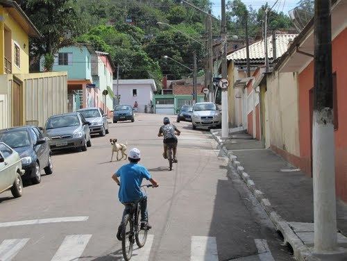
Country Brazil State São Paulo Founded February 18, 1959 Area 131.4 km² Local time Monday 4:25 AM | Region Southeast Metropolitan Region São Paulo Elevation 760 m (2,490 ft) Population 71,805 (2015) | |
 | ||
Weather 21°C, Wind SW at 5 km/h, 92% Humidity | ||
Cajamar is a municipality in the State of São Paulo, Brazil. It is part of the Metropolitan Region of São Paulo. The population is 71,805 (2015 est.) in an area of 131.39 km². It is bordered to the north Jundiaí, Franco da Rocha and Caieiras the east, the capital of the southeast, Santana do Parnaíba and Pirapora do Bom Jesus in the west.
Contents
Map of Cajamar, State of S%C3%A3o Paulo, Brazil
Became a municipality in 1959, when emancipated from Santana do Parnaíba. In the district headquarters, in the city are also the districts of Jordanésia and Polvilho.
Geography and climate
Cajamar is located at an average altitude of 760 meters.
The climate of the city, and across the metropolitan area of São Paulo, is subtropical. The average annual temperature is around 20C °, with the coldest month July (average 15 °C) and warmest in February (average of 23 °C). The annual rainfall is around 1300 mm.
