
- summer (DST) CDT (UTC-5) | Local time Saturday 7:18 PM | |
 | ||
Weather 14°C, Wind SE at 18 km/h, 42% Humidity Area 92.57 km² (91.25 km² Land / 132 ha Water) | ||
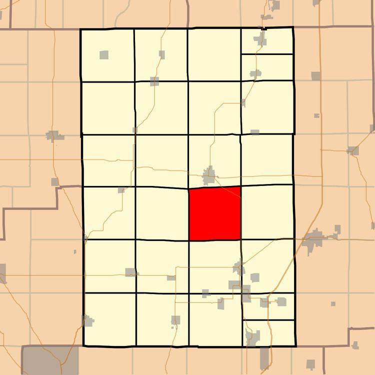
Brushy Mound Township (T9N R7W) is located in Macoupin County, Illinois, United States. As of the 2010 census, its population was 714 and it contained 357 housing units.
Contents
Map of Brushy Mound Township, IL, USA
Geography
According to the 2010 census, the township has a total area of 35.74 square miles (92.6 km2), of which 35.23 square miles (91.2 km2) (or 98.57%) is land and 0.51 square miles (1.3 km2) (or 1.43%) is water.
References
Brushy Mound Township, Macoupin County, Illinois Wikipedia(Text) CC BY-SA