
- elevation 1,600 m (5,249 ft) Length 196 km Discharge 164.2 m³/s Country Guatemala | - elevation 90 m (295 ft) Basin area 2,459 km² Basin area 2,459 km² | |
 | ||
- average 164.2 m/s (5,799 cu ft/s) | ||
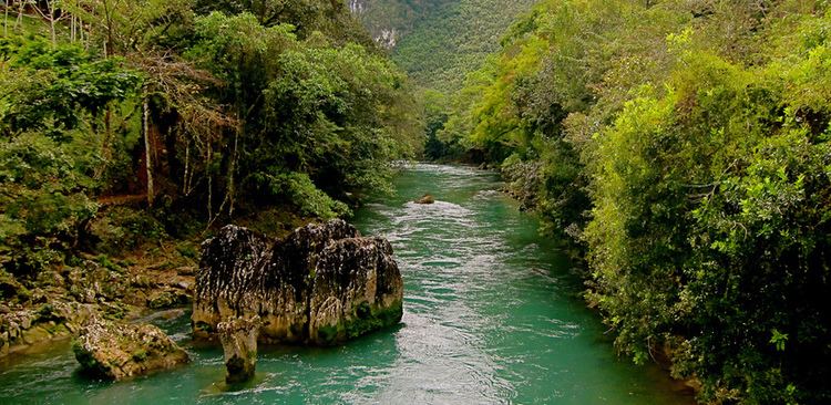
The Río Cahabón (Cahabón River) is a 196-kilometre (122 mi) long river in eastern Guatemala. From its sources in the Sierra de las Minas range in Baja Verapaz it turns north and then east into Alta Verapaz, running through Santa Cruz Verapaz, Tactic, Cobán, San Pedro Carchá, Semuc Champey and Santa María Cahabón below which it joins the smaller Polochic River.
Map of Rio Cahabon, Guatemala
It has whitewater reaches, with Class III and IV rapids — intermediate to challenging — which are favoured spots for touristic river rafting.
References
Cahabón River Wikipedia(Text) CC BY-SA