
Length 194 km | ||
 | ||
River mouth Lake Izabal88 m (289 ft) Tributaries Left:Río Papalja, Río Tampoma, Río Actela, Río Boca Nueva, Río Secoc, Río Cahabón.Right:Río Matanzas, Rio Jolomjix, Rio Chiquito, Rio Zarco. Discharge Average rate:69.3 m/s (2,450 cu ft/s) (at Telemán) | ||
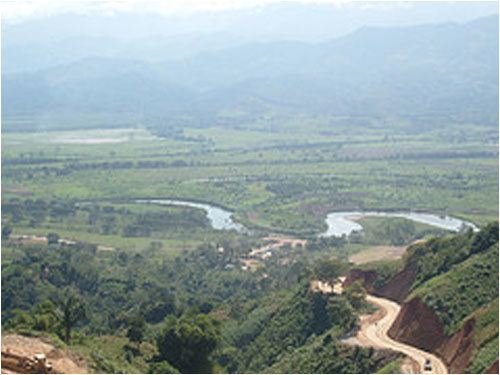
The Polochic River ([poloˈtʃik]) is a 194-kilometre (121 mi) long river in eastern Guatemala. It flows eastwards through a deep valley and flows into Lake Izabal at 15.46667°N 89.36667°W / 15.46667; -89.36667. The river is navigable for 30 kilometres (19 mi) to Panzós. It was used many years ago to transport coffee and timber, but most commercial transport in the river valley is now carried out by truck.
Map of Rio Polochic, Guatemala
References
Polochic River Wikipedia(Text) CC BY-SA