
Highest elevation 172 m (564 ft) Area 15.69 km² | Max length 8.9 km | |
 | ||
Council Consell Insular de Mallorca Points of interest Cabrera - Balearic Islands, Castillo de Cabrera, Parque nacional De cabrera Similar Dragonera, Es Trenc, Serra de Tramuntana, Cuevas del Drach, Illa de Tagomago | ||
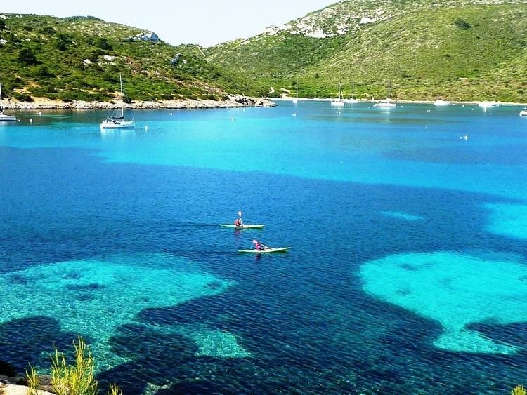
majorca a full tour of the balearic island in the mediterranean sea
Cabrera ([cəˈβɾeɾə], Latin: Capraia) is an uninhabited islet in the Balearic Islands, Spain, located in the Mediterranean Sea off the southern coast of Majorca. It is a National Park. The highest point is Na Picamosques (172 m).
Contents
- majorca a full tour of the balearic island in the mediterranean sea
- Map of Cabrera Balearic Islands Spain
- History
- References
Map of Cabrera, Balearic Islands, Spain
Cabrera is the largest island of the small archipelago that includes (from south to north) the islands of Estells de Fora, L'Imperial, Illa de ses Bledes, Na Redona, Conillera, L'Esponja, Na Plana, Illot Pla, Na Pobra, and Na Foradada.
History
Cabrera was used to house French prisoners during the Napoleonic Wars. Of 9,000 sent to Cabrera, only 3,600 survived.
Late in 1916 a malfunctioning Austro-Hungarian Navy submarine remained at Cabrera for several hours, and the Spanish government subsequently decided to expropriate the island for defense. It is alleged that Juan March Ordinas, avoiding the blockade, had been selling supplies, including fuel, to submarine personnel, from the area of Cala Ganduf and S'Olla. There was strong international protest, particularly by the British Admirality, as Spain was officially neutral during the First World War.
Cabrera remained a military zone until the 1980s, although from the 1920s some Mallorcan civilians rented out their Cabrera land for agriculture.
In 1936, during the Spanish Civil War, a Republican Air Force Dornier Wal D-1 airplane fell near the island. The crew were captured by military nationalist forces, but two Republican submarines (a B2 and B3) sent by order of Pedro Marqués Barber (an old NCO and former military Minorca self-proclaimed governor) came immediately and the small Cabreran force surrendered. Facundo Flores Horrach (the chief military officer), Mariano Ferrer Bravo (a retired Spanish officer) and three civilians (males of the Suñer Mas family) were taken to Minorca and executed in harbour place named S'Hort d'en Morillo (Mahón). After the failure of Captain Alberto Bayo Column landing in Mallorca, from 15 August to 4 September, the Republican troops left Cabrera. Bayo's plan was for the CNT column, stationed in Cabrera, to appear at Dragonera Island just southwest of Mallorca and simulate a false landing. But the anarchist CNT command refused this tactic and later went to Mallorca. A bloody battle destroyed them in Porto Cristo. The rest of this column failed before it arrived and was killed on Sa Cabana, just outside their point of entry at Manacor.
In 1944, during World War II, a German airplane crashed into the sea close to Cabrera. One of the crew, Johanes Blocher, died.
Cabrera, which had been a former Santa Catalina, Palma de Mallorca district, was declared a National Park in April 1991. The Cabrera National Park is now administratively grouped with the municipality of Palma de Mallorca.