
Basin area 189.1 km² | Length 37 km Source elevation 704 m | |
 | ||
- location south-southwest of Coalfield | ||
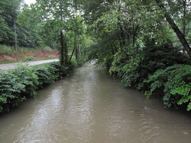
Cabin Creek is a tributary of the Kanawha River, 22.7 miles (36.5 km) long, in West Virginia in the United States. Via the Kanawha and Ohio rivers, it is part of the watershed of the Mississippi River, draining an area of 72.6 square miles (188 km2) in a coal mining region on the unglaciated portion of the Allegheny Plateau.
Map of Cabin Creek, 1, WV, USA
Cabin Creek begins in western Fayette County, approximately 2.2 miles (3.5 km) south-southwest of Coalfield. It flows in southern Kanawha County for most of its course, north-northwestward through the unincorporated communities of Republic, Carbon, Decota, Laing, Quarrier, Holly, Leewood, Eskdale, Ohley, Coal, Giles, Dawes, Miami, Sharon, Ronda, and Dry Branch, to the community of Cabin Creek, where it flows into the Kanawha River. The creek is paralleled by county roads for most of its course, and additionally by the West Virginia Turnpike from Giles to its mouth.
Cabin Creek was named for a nearby pioneer's cabin which was raided by Indians in the 1740s.