
Country United States Area code(s) 304 & 681 Elevation 205 m | Time zone Eastern (EST) (UTC-5) GNIS feature ID 1546622 Local time Friday 3:54 PM | |
 | ||
Weather 15°C, Wind W at 18 km/h, 73% Humidity | ||
Sharon is an unincorporated community and coal town in southeastern Kanawha County, West Virginia, United States, located along the West Virginia Turnpike.
Contents
Map of Sharon, 1, WV 25134, USA
Geography
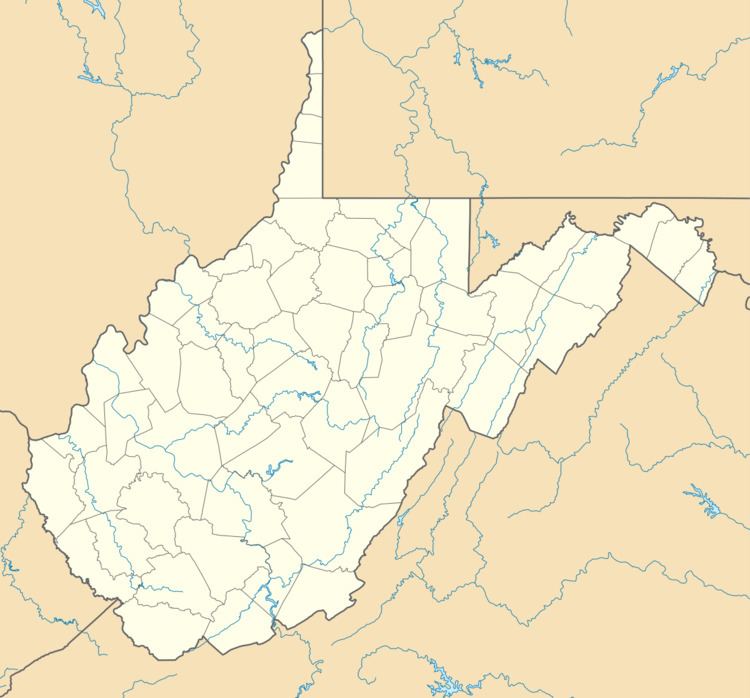
Sharon is located at 38°09′34″N 81°26′49″W (38.159549, -81.447059) along Cabin Creek. It has an elevation of 673 feet (205 m).
Transportation
Sharon is located on Secondary State Route 79, locally known as Cabin Creek Road. Exit 79 of Interstate 77 is located here; no services are available at the exit.
Until the 1980s, a rail spur ran from the CSX railroad tracks up a short hollow, serving a coal mine tipple. The remnants of the tracks and rail bed can still be seen at present day along Paint Branch, however, no sign remains of the at-grade crossing of Cabin Creek Road or the trestle that crossed Cabin Creek.
As a result of the badly needed upgrade of the West Virginia Turnpike to Interstate standards, multiple homes occupying the adjacent land were bought by the state and demolished. Remains and markers from an abandoned 19th century era cemetery were also relocated.
Sharon had a United States Post Office until the early 1990s, the ZIP code was 25182.