
Postal code 73870-000 | Time zone BRT/BRST (UTC-3/-2) Area 1,128 km² | |
 | ||
Microregion Entorno do Distrito Federal | ||
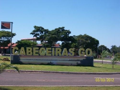
Cabeceiras is a municipality in east-central Goiás state, Brazil. It is fast becoming a major producer of agricultural products using center pivot irrigation.
Contents
- Map of Cabeceiras State of GoiC3A1s Brazil
- Location and Highway Connections
- Demographics
- The economy
- Health and education
- History
- References
Map of Cabeceiras - State of Goi%C3%A1s, Brazil
Location and Highway Connections
Cabeceiras is located directly east of Brasília and is 38 km. south of the important BR-020 highway. The municipal boundaries are with:
The distance to the state capital, Goiânia, is 344 km. Highway connections are made from Goiânia by BR-153 / Anápolis / Alexânia / BR-060 / Planaltina (DF) / Formosa / BR-020 / BR-030 / GO-34.
The most important rivers and streams in its territory are the Bezerra, Urucuia, Ribeirão Taboca, Ribeirão da Morte, Córregos Fundo, Cachoeira, Capoeira, Roncador and Salobro; and the lakes of Mato Grande, Roncador, Moirões, Formosa, Penha and Prata.
Districts, Villages, and Hamlets
Demographics
The economy
Once a poor area dependent on subsistence farming and extensive but poorly managed cattle raising, the municipality concentrates the base of its economy on agriculture, which is now one of the most dynamic in the state. With a large number of farmers from the south of the country, especially Rio Grande do Sul, agriculture is characterized by use of technology for planting and preparation of the soil, which has given it a high productivity. There is great production of irrigated corn (8,300 hectares), soybeans (32,000 hectares), beans, sorghum, and even wheat.
Motor vehicles
Agricultural data 2006
Health and education
History
Cabeceiras began in 1942 with the construction of a house by Antônio Ribeiro de Andrade, nicknamed "o Bahiano", who in turn built a chapel honoring Santa Rosa de Lima, along the banks of a stream called Taboquinha. New families arrived and the name of Cabeceiras was given due to its location near the source (cabeceiras) of the stream. In 1952 the village (povoado) was elevated to the status of district (distrito). In 1958 it was dismembered from the municipality of Formosa.