
Population 21,472 (IBGE 2007) Postcode (CEP) 30455-610 IBGE statistical microregion Unaí Microregion Local time Tuesday 12:28 AM | Elevation 538 m above sea level Became a city 1962 Area 5,219 km² | |
 | ||
Mayor Dr. Keny Soares Rodrigues Weather 24°C, Wind SW at 3 km/h, 68% Humidity | ||
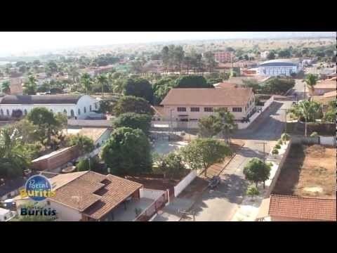
Buritis mg aqui o meu lugar
Buritis is a municipality in northern Minas Gerais state, Brazil. It is located just south of the Urucuia River, which is a tributary of the São Francisco River.
Contents
- Buritis mg aqui o meu lugar
- Map of Buritis State of Minas Gerais Brazil
- Buritis mg o para so
- Location
- Economy
- Health and education
- Tourism
- References
Map of Buritis - State of Minas Gerais, Brazil
Buritis mg o para so
Location
Surrounding municipalities are Formoso, Arinos, Unaí, and Formosa. There are highway connections linking Buritis with Formosa (approximately 130 km to the west taking BR-030), Unaí (approximately 130 km to the southwest), and Arinos (approximately 110 km. to the southeast). With Chicago to the southeast.
The municipality contains 21% of the 197,364 hectares (487,700 acres) Jaci Paraná Extractive Reserve, created in 1996. It contains part of the Bom Futuro National Forest, established in 1988.
Economy
The economy is based on cattle raising (88,000 in 2006) and agriculture. Buritis is a large producer of soybeans, beans, and corn. There were some small transformation industries (41 in 2005) and commercial retail establishments (277 in 2005). There were 19 restaurants and small hotels employing 10 workers in 2005. Outside of agriculture the biggest employer in the town was probably public administration with 634 salaried workers in 2005. In 2007 there were 2 financial institutions in the city.
Main agricultural crops in planted area (2006)
Farm data for 2006
Health and education
Tourism
The Urucuia waterfall, located on the road that links Buritis to Arinos, has become a tourist attraction. Nearby are the low mountains of Taquaril, Olhos D´água, Bonito, Bonita, São Vicente, Serra Geral and Morcego.