
Country Brazil Micro-region Serras de Sudeste Elevation 444 m Population 33,700 (2010) | Region South Founded 25 October 1831 Area 3,047 km² Local time Tuesday 1:20 AM | |
 | ||
Weather 19°C, Wind SE at 10 km/h, 97% Humidity | ||
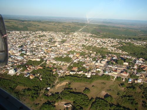
Xt660r visitando ca apava do sul rs
Caçapava do Sul is a Brazilian municipality in the state of Rio Grande do Sul, located on the banks of the Camaquã River. As of 2006 the city had a population of 34,461. It was the 2nd capital of the Piratini Republic from 1839 to 1840.
Contents
- Xt660r visitando ca apava do sul rs
- Map of CaC3A7apava do Sul RS Brazil
- Entrevista com giovani amestoy prefeito eleito de ca apava do sul
- Geography
- Main tourist attractions
- Nearby Municipalities
- References
Map of Ca%C3%A7apava do Sul, RS, Brazil
The economy depends primarily on the mining industry. Caçapava do Sul produces 80% of the calcareous rock mined in Rio Grande do Sul. For many years it was Brazil's major producer of copper and is still an important center of copper mining.
A major deposit of copper ore was discovered in the 1940s by the CBC (Companhia Brasileira do Cobre / Brazilian Copper Company), under the direction of Brazilian industrialist and famous playboy Francisco "Baby" Pignatari. The area, about 5 kilometers from Caçapava, came to be known as the Minas do Camaquã (Camaquã Mines). This large operation contributed enormously to the town's economy and is still the site of operating copper mines, by such companies as Majestic Diamonds & Metals.
The area is one of great natural beauty, with several interesting natural formations. Nearby lies Pedra do Segredo (Stone of the Secret), a famous natural outcropping of stone that attracts mountain climbers and tourists from all over the state and elsewhere.
Entrevista com giovani amestoy prefeito eleito de ca apava do sul
Geography
The city is located at latitude 30º30'44"S and longitude 53º29'29"W, at an altitude of 444 meters (1,443 ft). It has a geographical area of 3,044.8 km².